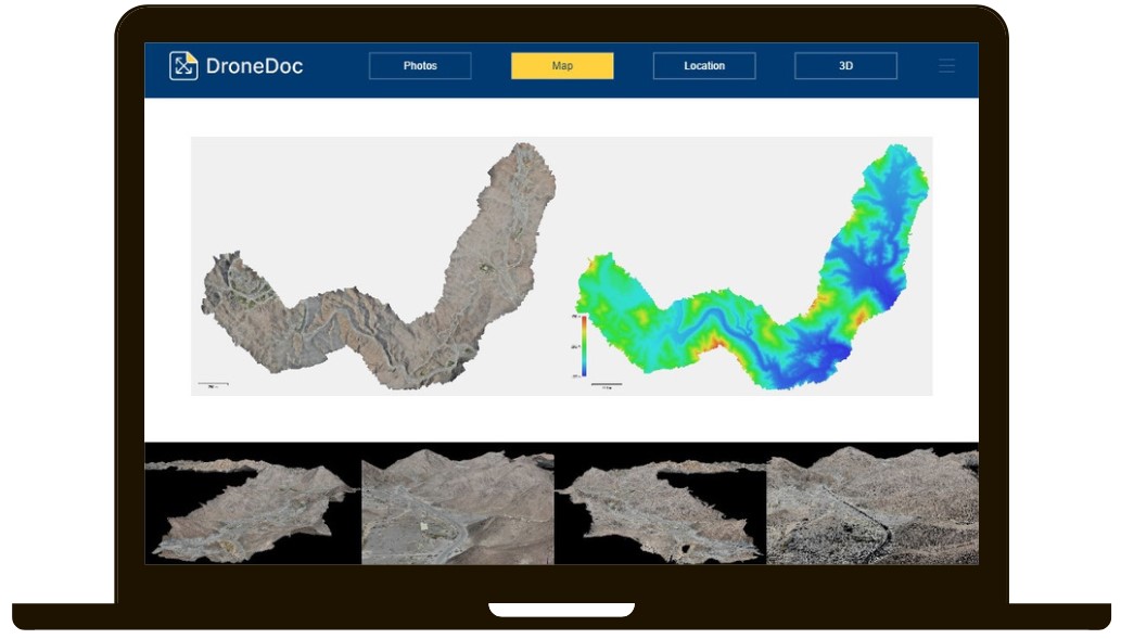
Topographical Surveying & Mapping

Aerial mapping by drone offers
the advantage of effortlessly
obtaining high quality data.
Drones can be equipped with
the necessary tools for each
specific task, allowing for a
customisable drone platform,
delivering optimal results.
Aerial imagery and precise
mapping can replace
conventional 3D measurement
tools and sensing equipment.
Therefore a survey-grade
drone is significantly more
efficient compared to using
traditional tools.
Unmanned Aerial Vehicles
(
UAVs) are cost-effective to
operate, can be deployed
instantly, and can be
pre-programmed to follow
specific routes via waypoint
grids. Furthermore, the
captured data is stored in a
format that seamlessly
integrates software for
geo-mapping, enabling fast
data implementation.

