about us
DroneDoc is a team of MRICS Surveyors and licensed UAV pilots providing drone-based solutions to the Middle East. We cater to different sectors including construction, solar, telecoms, oil & gas and government, providing aerial captures, digital solutions and documenting your portfolio of assets.
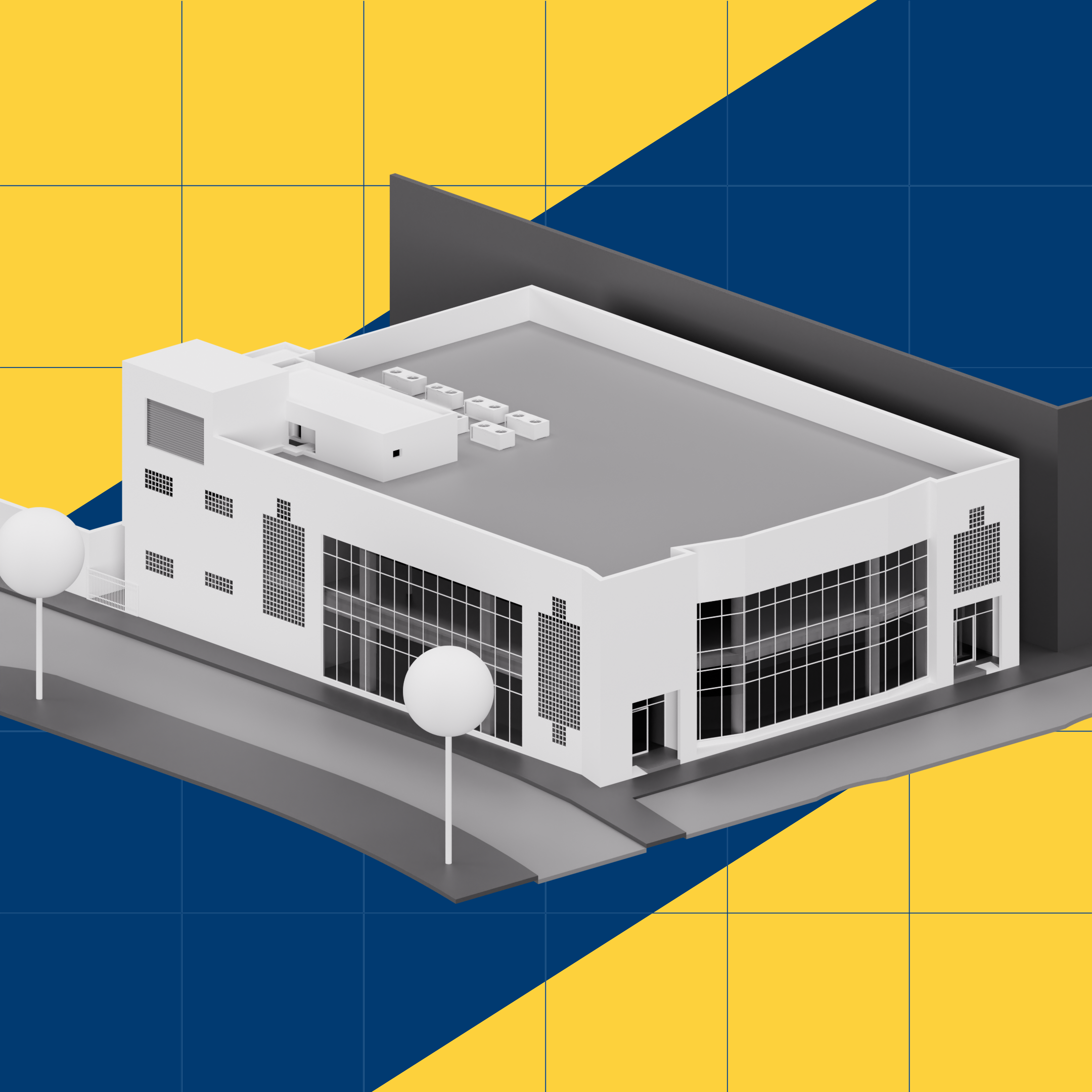
Our process starts with the capture on site using industry-grade drones. This data is then processed with digital solutions to suit your requirements. We’re the region’s first company to capture data from the land and sky, both exterior and interior!
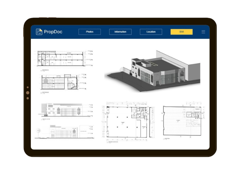
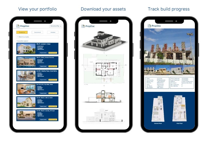
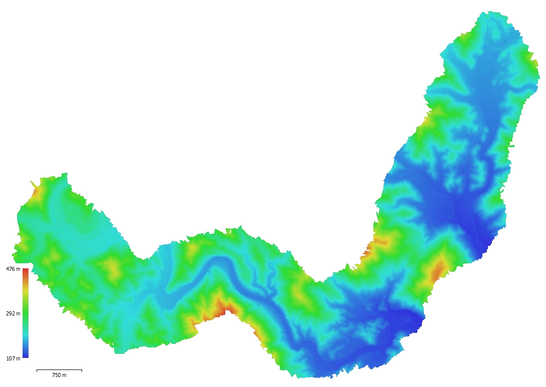
We capture millions of points of data from each site visit that we process into real deliverables that save you time and money. Transform the physical world into a digital one with DroneDoc.
DroneDoc is our go-to partner to capture and digitize the Gulf. Their technology and services are a unique combination of drone capturing and innovative digital solutions, which is making our workload easier to handle. Their certifications and accreditations helped us win more projects.
Global Real Estate Consultancy
Industries
Surveying & Mapping

Real Estate

Construction & Infrastructure

Energy & Utilities

Oil & Gas

Agriculture & Forestry

Security & Surveillance

Film & Media

Education & Training


about RICS
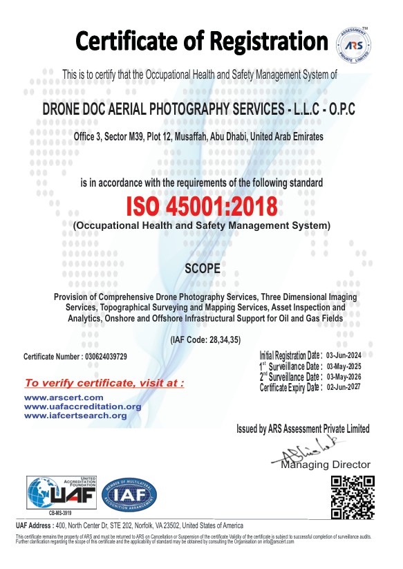
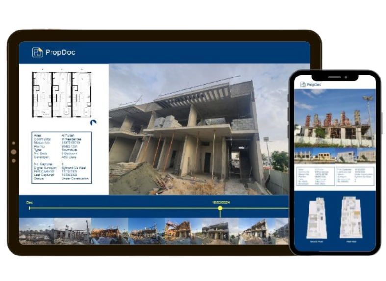
DroneDoc & PropDoc are a certified tech partner of the RICS and also boast several ISO certifications, making us the most certified drone surveying service in the region! DroneDoc has been formed to help the profession understand and adopt UAV drone solutions to deliver real value.
We’re committed to upholding the highest industry standards, and our partnership with the Royal Institution of Chartered Surveyors is a testament to that dedication. As part of this program, we ensure professionalism, integrity, and quality in all our services.
We are ISO Certified
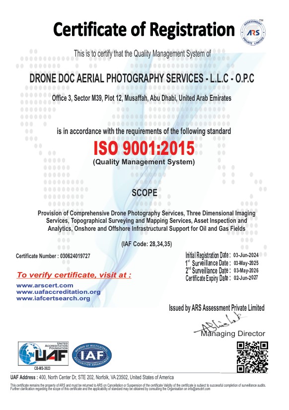
ISO 9001
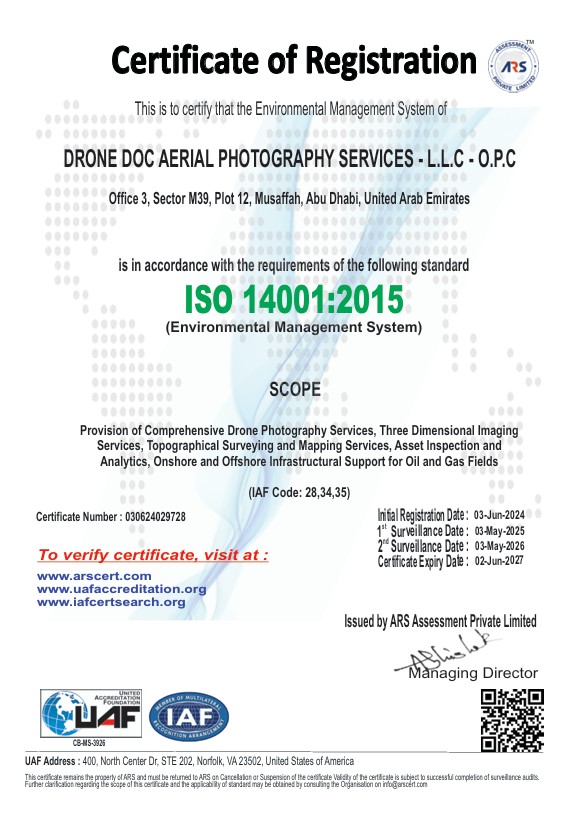
ISO 14001
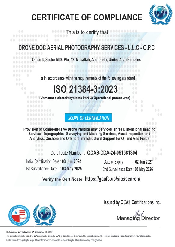
ISO 21384
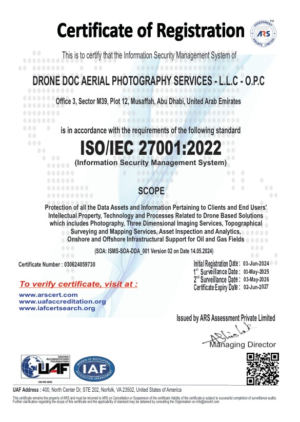
ISO 27001
