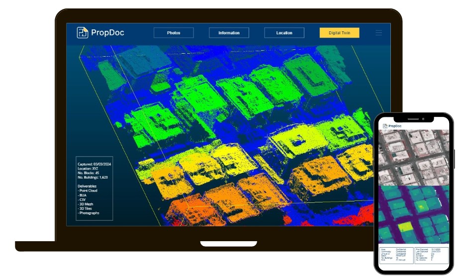
Do you need to know the
built-up area of an entire city?
Or a sub-community or just a
specific building?
DroneDoc’s innovative solution
using computer vision and
machine learning.
Using drone or satellite
footage, our solution
automatically segments each
building and calculates the
built-up area of each building.
