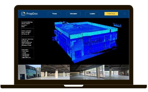
We capture using a range of
LiDAR scanners and deliver
point cloud data in a variety of
formats & densities. Our team
of Digital Surveyors can
capture point cloud data from
the ground and air.
PropDoc offers a turnkey
solution to convert heavy
point cloud data into simple
2D & 3D assets. Alternatively,
if you prefer to handle the
data we can
capture-as-a-service on your
behalf.