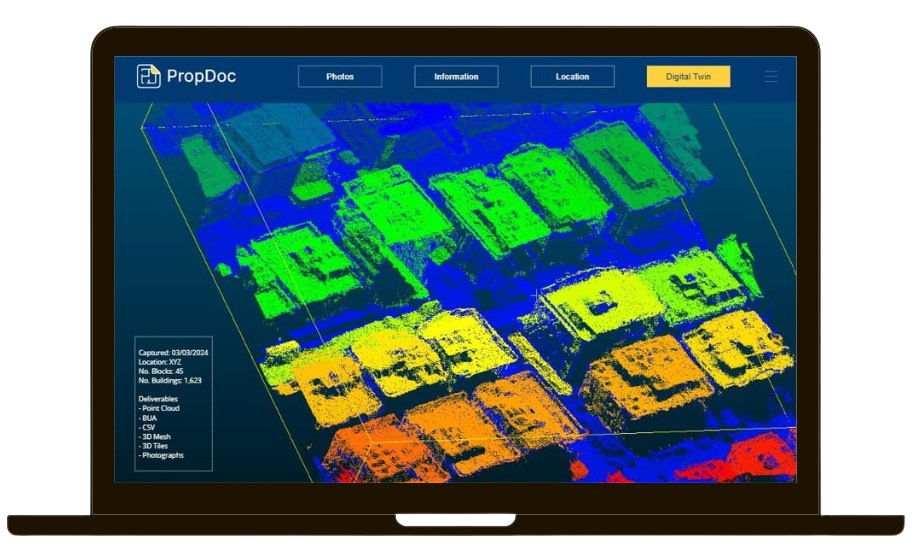
DroneDoc captures 1,200,000 points per second.
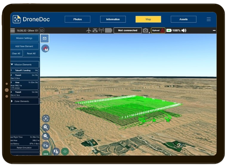
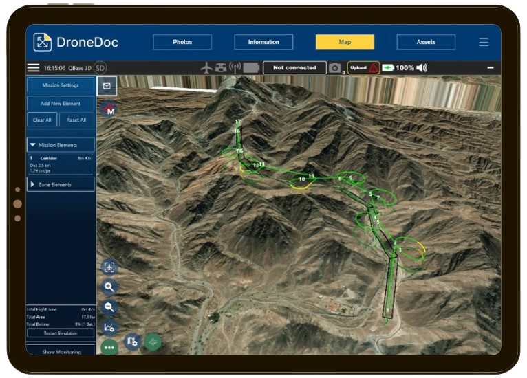
DroneDoc processes millions of data points to deliver you digitized assets.

LiDAR
Using LiDAR technology, our team captures millions of data points from each scan. We then process the point cloud data with the latest solutions and deliver your assets digitally. Our scanners capture 1,200,000 points per second ensuring reliable data.
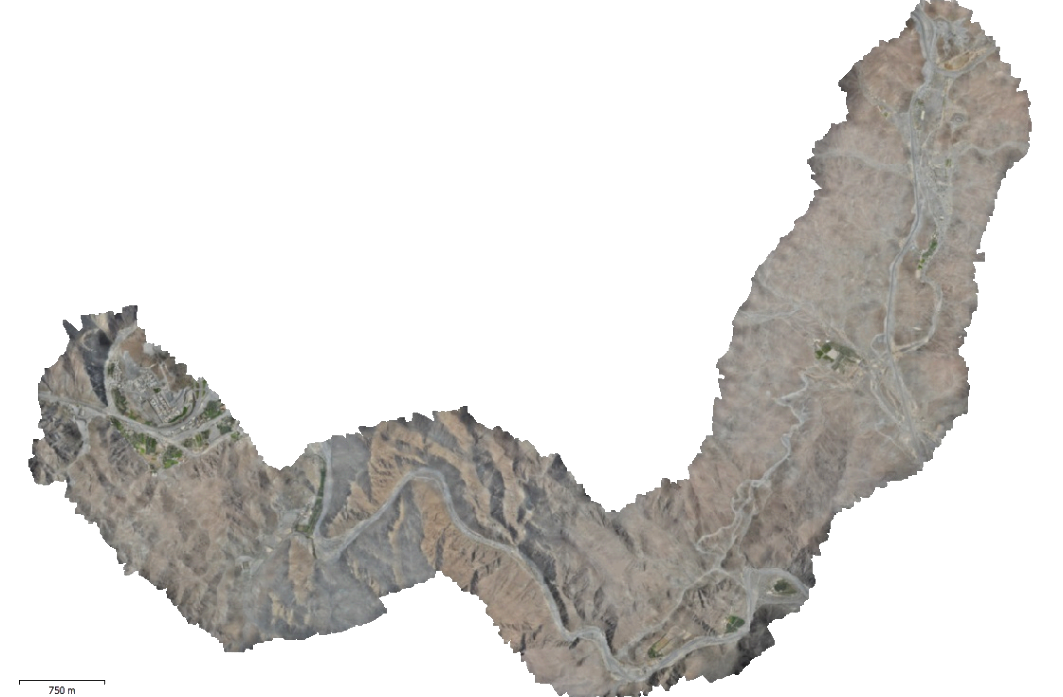
Photogrammetry
Our UAV’s are capable of carrying different payloads to ensure we use the best cameras. Photogrammetry is now commonly used for several applications including mapping and asset inspections.

DSM
Digital Surface Models (DSM) include all captured points, showing both natural and man-made features. A DSM includes the tops of buildings, trees, powerlines and other objects. In short, it is a canopy model, and captures the ground when visible.
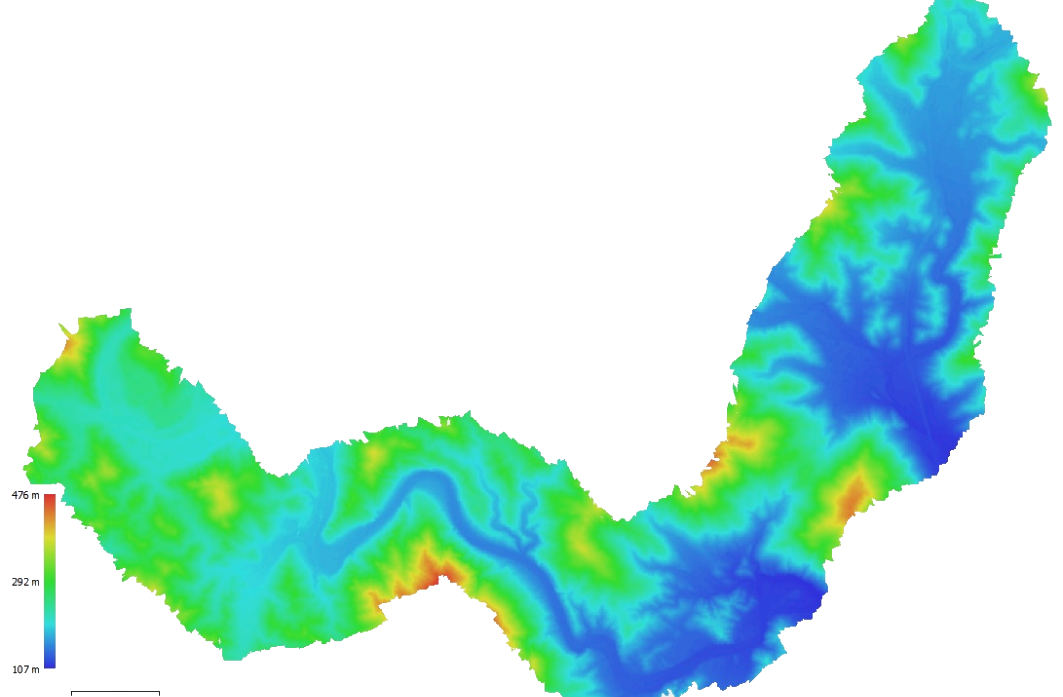
DEM
Digital Elevation Models (DEM), are a visual representation of the elevation data for each point captured on your site. Instead of depicting how your site actually appears in person, DEMs generally use color to showcase the differences in elevation.

Thermal
Thermal imagery can be captured from both ground and aerial scans. They are often used with drones to keep humans safe, far from the extreme temperatures. Other applications include checking for thermal leakage of a building.

DroneDoc Solutions
DroneDoc offers turnkey services including capture and digital solutions. These include city mapping, segmentation of assets, computer vision, machine learning and more. Contact us to find out more.
DroneDoc has the expertise to scan both exterior and interior.
The process is broken into 3 keys steps:
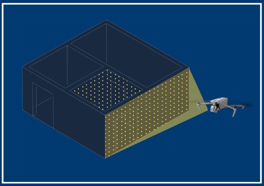
Out team of qualified drone pilots captures each asset

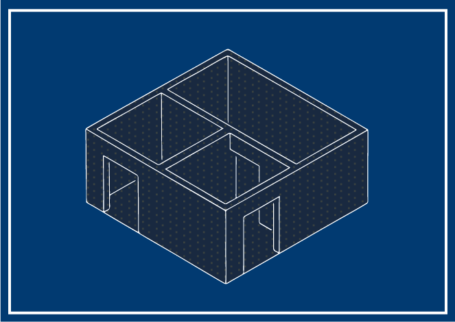
We process the data to produce assets

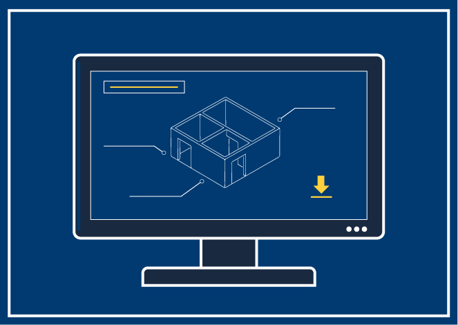
We digitally document each asset for you to access anytime, anywhere.
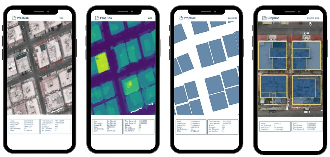
Calculate the built-up area of a city from an image in minutes.
Using computer vision and machine learning, we first segment and then identify each object. Our solution accurately takes each building’s boundary and floor plates to tell you plot & building sizes.
